Monk Bretton Priory
Introduction
The photograph on this page of Monk Bretton Priory by John Bayes as part of the Geograph project.
The Geograph project started in 2005 with the aim of publishing, organising and preserving representative images for every square kilometre of Great Britain, Ireland and the Isle of Man.

There are currently over 7.5m images from over 14,400 individuals and you can help contribute to the project by visiting https://www.geograph.org.uk
Monk Bretton Priory
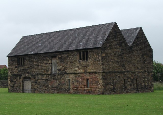
Image: © John Bayes Taken: 2 Jul 2012
Administrative building: This late 13th-century building stood in the outer court, where monks mixed with visitors.
Images are licensed for reuse under creativecommons.org/licenses/by-sa/2.0
Image Location
Latitude
53.554348
Longitude
-1.438295