Naunton Lane reaches the Bath Road
Introduction
The photograph on this page of Naunton Lane reaches the Bath Road by Terry Jacombs as part of the Geograph project.
The Geograph project started in 2005 with the aim of publishing, organising and preserving representative images for every square kilometre of Great Britain, Ireland and the Isle of Man.

There are currently over 7.5m images from over 14,400 individuals and you can help contribute to the project by visiting https://www.geograph.org.uk
Naunton Lane reaches the Bath Road
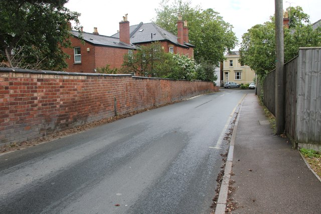
Image: © Terry Jacombs Taken: 4 Jul 2012
For most of its length, Naunton Lane is bordered by suburban housing frontages, parks and a school, but at its western end it is bounded by a wall and a fence.
Images are licensed for reuse under creativecommons.org/licenses/by-sa/2.0
Image Location
Latitude
51.884024
Longitude
-2.079425