House on West Moors Rd
Introduction
The photograph on this page of House on West Moors Rd by Nigel Mykura as part of the Geograph project.
The Geograph project started in 2005 with the aim of publishing, organising and preserving representative images for every square kilometre of Great Britain, Ireland and the Isle of Man.

There are currently over 7.5m images from over 14,400 individuals and you can help contribute to the project by visiting https://www.geograph.org.uk
House on West Moors Rd
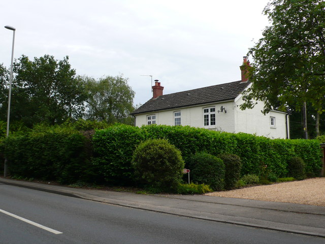
Image: © Nigel Mykura Taken: 27 Jun 2012
This house is in the very north east corner of the grid square where the road in the foreground (West Moors Rd the B3072) just crosses into the grid square. The junction with Ringwood Rd is just out of image to the left.
Images are licensed for reuse under creativecommons.org/licenses/by-sa/2.0
Image Location
Latitude
50.850135
Longitude
-1.88787