SW end of Denbridge Road south of Cwmavon
Introduction
The photograph on this page of SW end of Denbridge Road south of Cwmavon by Jaggery as part of the Geograph project.
The Geograph project started in 2005 with the aim of publishing, organising and preserving representative images for every square kilometre of Great Britain, Ireland and the Isle of Man.

There are currently over 7.5m images from over 14,400 individuals and you can help contribute to the project by visiting https://www.geograph.org.uk
SW end of Denbridge Road south of Cwmavon
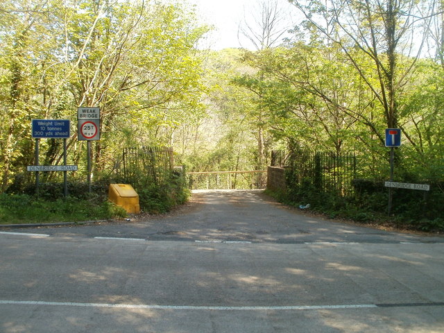
Image: © Jaggery Taken: 28 Apr 2011
Viewed across the A4043. Denbridge Road heads towards farms and cottages in the Afon Lwyd valley. http://www.geograph.org.uk/photo/3022748 The signs show a 25 tonne weight restriction, reducing to 10 tonnes across the river bridge 300 yards ahead.
Images are licensed for reuse under creativecommons.org/licenses/by-sa/2.0
Image Location
Latitude
51.738919
Longitude
-3.060049