Birkbeck Viaduct
Introduction
The photograph on this page of Birkbeck Viaduct by K A as part of the Geograph project.
The Geograph project started in 2005 with the aim of publishing, organising and preserving representative images for every square kilometre of Great Britain, Ireland and the Isle of Man.

There are currently over 7.5m images from over 14,400 individuals and you can help contribute to the project by visiting https://www.geograph.org.uk
Birkbeck Viaduct
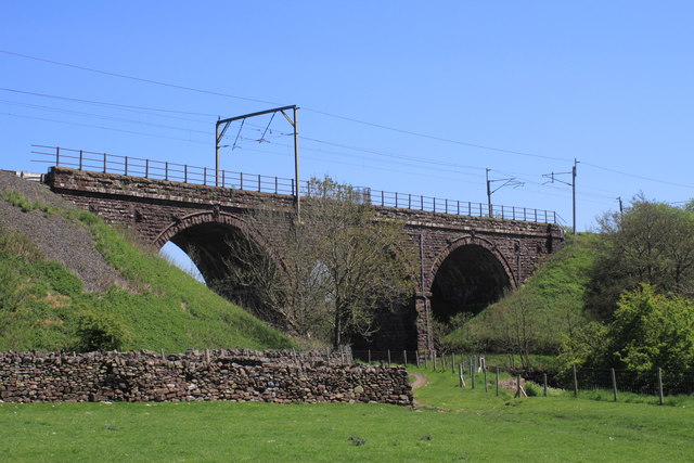
Image: © K A Taken: 26 May 2012
The three arch viaduct takes the West Coast Main Line over Birk Beck
Images are licensed for reuse under creativecommons.org/licenses/by-sa/2.0
Image Location
Latitude
54.442012
Longitude
-2.610562