Salisbury Road, Ewell
Introduction
The photograph on this page of Salisbury Road, Ewell by Colin Smith as part of the Geograph project.
The Geograph project started in 2005 with the aim of publishing, organising and preserving representative images for every square kilometre of Great Britain, Ireland and the Isle of Man.

There are currently over 7.5m images from over 14,400 individuals and you can help contribute to the project by visiting https://www.geograph.org.uk
Salisbury Road, Ewell
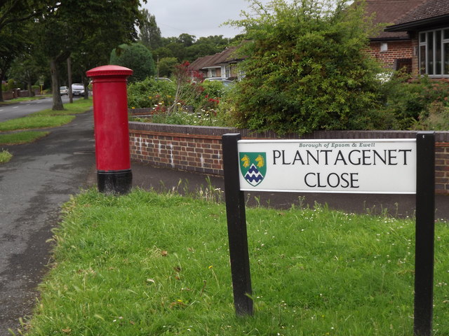
Image: © Colin Smith Taken: 3 Jul 2012
At its junction with the royally-named Plantagenet Close. Ewell has a long royal history associated with the palace - Nonsuch Palace was sited nearby. www.epsom-ewell.gov.uk
Images are licensed for reuse under creativecommons.org/licenses/by-sa/2.0
Image Location
Latitude
51.370115
Longitude
-0.26427