Road to Park Farm
Introduction
The photograph on this page of Road to Park Farm by Russel Wills as part of the Geograph project.
The Geograph project started in 2005 with the aim of publishing, organising and preserving representative images for every square kilometre of Great Britain, Ireland and the Isle of Man.

There are currently over 7.5m images from over 14,400 individuals and you can help contribute to the project by visiting https://www.geograph.org.uk
Road to Park Farm
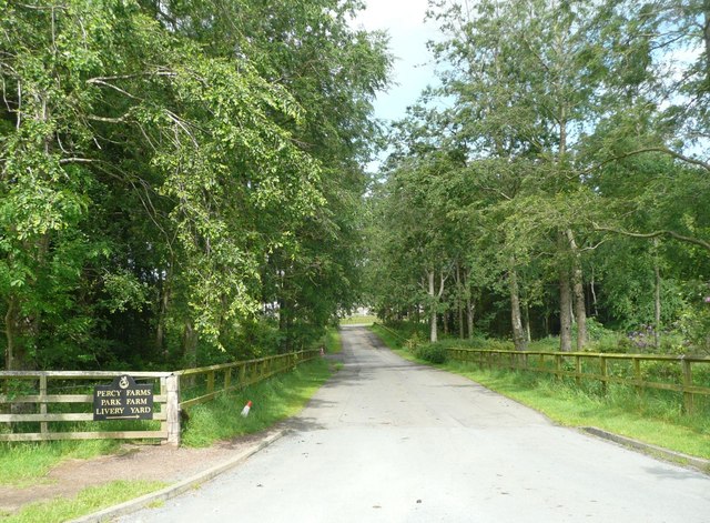
Image: © Russel Wills Taken: 3 Jul 2012
The Iron Bridge Drive turning left off this drive was closed to walkers because the recent storm had damaged the road.
Images are licensed for reuse under creativecommons.org/licenses/by-sa/2.0
Image Location


Leaflet Map data © OpenStreetMap
Latitude
55.423944
Longitude
-1.73723