The course of the Gypsey Race upstream
Introduction
The photograph on this page of The course of the Gypsey Race upstream by Christine Johnstone as part of the Geograph project.
The Geograph project started in 2005 with the aim of publishing, organising and preserving representative images for every square kilometre of Great Britain, Ireland and the Isle of Man.

There are currently over 7.5m images from over 14,400 individuals and you can help contribute to the project by visiting https://www.geograph.org.uk
The course of the Gypsey Race upstream
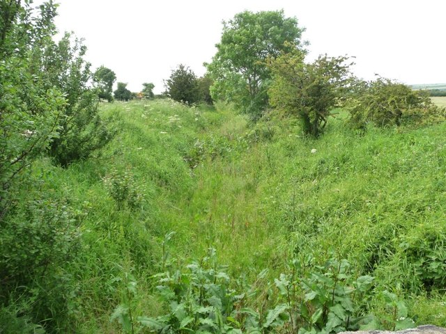
Image: © Christine Johnstone Taken: 26 Jun 2012
Taken from the bridge into the Vicarage Closes field. It looks as if this wolds stream has been dry for some time here.
Images are licensed for reuse under creativecommons.org/licenses/by-sa/2.0
Image Location


Leaflet Map data © OpenStreetMap
Latitude
54.137565
Longitude
-0.369993