Hogsmill River
Introduction
The photograph on this page of Hogsmill River by Colin Smith as part of the Geograph project.
The Geograph project started in 2005 with the aim of publishing, organising and preserving representative images for every square kilometre of Great Britain, Ireland and the Isle of Man.

There are currently over 7.5m images from over 14,400 individuals and you can help contribute to the project by visiting https://www.geograph.org.uk
Hogsmill River
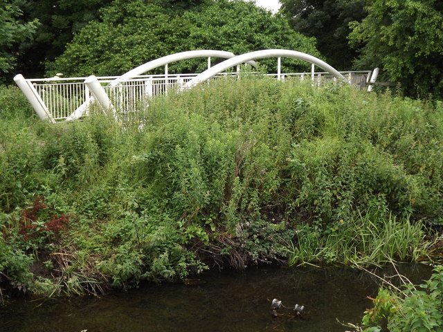
Image: © Colin Smith Taken: 3 Jul 2012
The Hogsmill here is just upstream of the inter-war Tolworth Court Bridge. The white arched bridge carries a footpath over the Bonesgate Stream and into grassland forming the Green Belt between Ewell and Kingston-upon-Thames.
Images are licensed for reuse under creativecommons.org/licenses/by-sa/2.0
Image Location
Latitude
51.370623
Longitude
-0.274308