Track in Ramsholt
Introduction
The photograph on this page of Track in Ramsholt by Chris Holifield as part of the Geograph project.
The Geograph project started in 2005 with the aim of publishing, organising and preserving representative images for every square kilometre of Great Britain, Ireland and the Isle of Man.

There are currently over 7.5m images from over 14,400 individuals and you can help contribute to the project by visiting https://www.geograph.org.uk
Track in Ramsholt
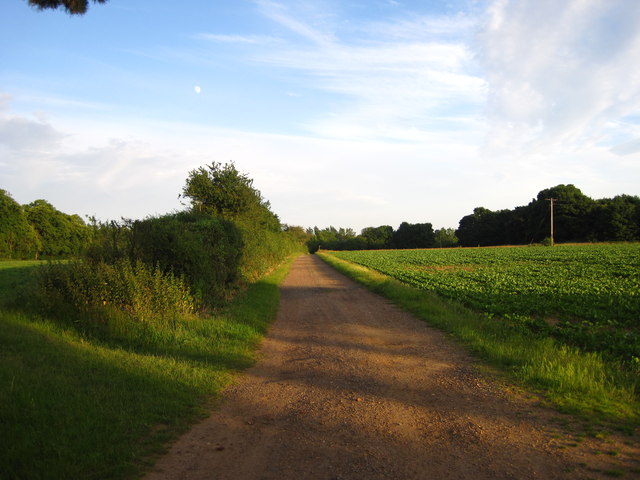
Image: © Chris Holifield Taken: 30 Jun 2012
This track leads from Church Lane down to the few buildings around the old School House in Ramsholt
Images are licensed for reuse under creativecommons.org/licenses/by-sa/2.0
Image Location
Latitude
52.028316
Longitude
1.367701