St George's Street at the junction of Jewry Street, Winchester
Introduction
The photograph on this page of St George's Street at the junction of Jewry Street, Winchester by David Howard as part of the Geograph project.
The Geograph project started in 2005 with the aim of publishing, organising and preserving representative images for every square kilometre of Great Britain, Ireland and the Isle of Man.

There are currently over 7.5m images from over 14,400 individuals and you can help contribute to the project by visiting https://www.geograph.org.uk
St George's Street at the junction of Jewry Street, Winchester
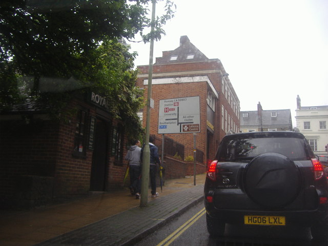
Image: © David Howard Taken: 2 Jul 2012
This is the first reference to Romsey on a road sign despite all others sending drivers back to the bypass, once you've managed to reach this far they finally reveal it to you.
Images are licensed for reuse under creativecommons.org/licenses/by-sa/2.0
Image Location
Latitude
51.063103
Longitude
-1.315693