Field near Oxenham
Introduction
The photograph on this page of Field near Oxenham by Derek Harper as part of the Geograph project.
The Geograph project started in 2005 with the aim of publishing, organising and preserving representative images for every square kilometre of Great Britain, Ireland and the Isle of Man.

There are currently over 7.5m images from over 14,400 individuals and you can help contribute to the project by visiting https://www.geograph.org.uk
Field near Oxenham
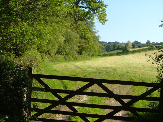
Image: © Derek Harper Taken: 8 Jun 2006
From the lane shown in Image, which has reached the valley floor of a tributary of the Taw, and has just briefly turned down it. This looks up a side valley to the south; only the first 70 metres are in square, and the hawthorn is in Image A narrow belt of woodland follows the stream on the left.
Images are licensed for reuse under creativecommons.org/licenses/by-sa/2.0
Image Location
Latitude
50.730144
Longitude
-3.898486