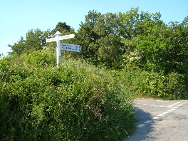
Spitlar Cross
Introduction
The photograph on this page of Spitlar Cross by Derek Harper as part of the Geograph project.
The Geograph project started in 2005 with the aim of publishing, organising and preserving representative images for every square kilometre of Great Britain, Ireland and the Isle of Man.
There are currently over 7.5m images from over 14,400 individuals and you can help contribute to the project by visiting https://www.geograph.org.uk

Image: © Derek Harper Taken: 8 Jun 2006
A contrast in weather and season from Image The place names rather wiped out by evening sunlight are North Wyke 2 (left) and Trundlebeer (sharp right). Sharp left doesn't seem to go anywhere in either photo - in fact, it would be a logical route to South Tawton from here, though the road to Trundlebeer would serve equally well. A tiny triangular wood, scarcely more than 30 metres on each side, occupies the angle in the north corner of the junction.

