A30 from Ringhill Cross
Introduction
The photograph on this page of A30 from Ringhill Cross by Derek Harper as part of the Geograph project.
The Geograph project started in 2005 with the aim of publishing, organising and preserving representative images for every square kilometre of Great Britain, Ireland and the Isle of Man.

There are currently over 7.5m images from over 14,400 individuals and you can help contribute to the project by visiting https://www.geograph.org.uk
A30 from Ringhill Cross
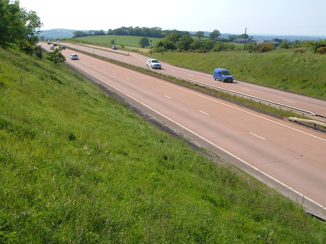
Image: © Derek Harper Taken: 8 Jun 2006
Looking in the other direction along the dual carriageway from Image The road is about to drop into the Taw valley. Behind the telegraph pole on the right are the buildings shown at Image
Images are licensed for reuse under creativecommons.org/licenses/by-sa/2.0
Image Location
Latitude
50.732354
Longitude
-3.884263