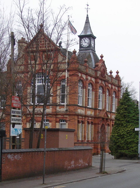
Former Withington Town Hall
Introduction
The photograph on this page of Former Withington Town Hall by David Hawgood as part of the Geograph project.
The Geograph project started in 2005 with the aim of publishing, organising and preserving representative images for every square kilometre of Great Britain, Ireland and the Isle of Man.
There are currently over 7.5m images from over 14,400 individuals and you can help contribute to the project by visiting https://www.geograph.org.uk

Image: © David Hawgood Taken: 26 Dec 2006
This Grade II listed building is now used as commercial offices. It is in the Albert Park conservation area. Manchester City Council's description of the conservation area http://www.manchester.gov.uk/site/scripts/documents_info.php?categoryID=511&documentID=1210&pageNumber=3 tells us: "Withington Town Hall, originally the local Board of Health offices, was built in buff brick with richly decorated dressings of red brick and terracotta. These form elliptical arches over the first floor windows. The parapet is decorated with finials and has a central gable, behind which is a clock turret surmounted by a weathervane."

