Woodhouse Mill Recreation Ground
Introduction
The photograph on this page of Woodhouse Mill Recreation Ground by Jonathan Clitheroe as part of the Geograph project.
The Geograph project started in 2005 with the aim of publishing, organising and preserving representative images for every square kilometre of Great Britain, Ireland and the Isle of Man.

There are currently over 7.5m images from over 14,400 individuals and you can help contribute to the project by visiting https://www.geograph.org.uk
Woodhouse Mill Recreation Ground
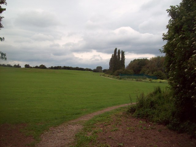
Image: © Jonathan Clitheroe Taken: 1 Jul 2012
Urban green space viewed here from the park entrance by the B6200 Road. The path is following the western bank of the River Rother.
Images are licensed for reuse under creativecommons.org/licenses/by-sa/2.0
Image Location
Latitude
53.367586
Longitude
-1.353588