Bridleway near Gooseford
Introduction
The photograph on this page of Bridleway near Gooseford by Derek Harper as part of the Geograph project.
The Geograph project started in 2005 with the aim of publishing, organising and preserving representative images for every square kilometre of Great Britain, Ireland and the Isle of Man.

There are currently over 7.5m images from over 14,400 individuals and you can help contribute to the project by visiting https://www.geograph.org.uk
Bridleway near Gooseford
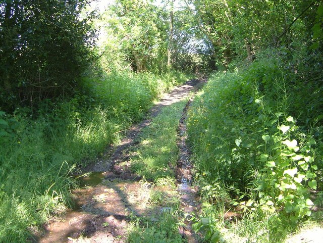
Image: © Derek Harper Taken: 8 Jun 2006
South Tawton Bridleway 31 is rather damp, in spite of the warm weather, as it is crossed by one or two tiny watercourses and more or less used by others.
Images are licensed for reuse under creativecommons.org/licenses/by-sa/2.0
Image Location


Leaflet Map data © OpenStreetMap
Latitude
50.711634
Longitude
-3.875216