Leicester, LE3 - Old Braunstone
Introduction
The photograph on this page of Leicester, LE3 - Old Braunstone by David Hallam-Jones as part of the Geograph project.
The Geograph project started in 2005 with the aim of publishing, organising and preserving representative images for every square kilometre of Great Britain, Ireland and the Isle of Man.

There are currently over 7.5m images from over 14,400 individuals and you can help contribute to the project by visiting https://www.geograph.org.uk
Leicester, LE3 - Old Braunstone
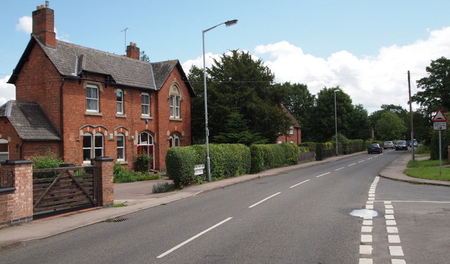
Image: © David Hallam-Jones Taken: 1 Jul 2012
The vicarage of St Peter's Church on Main Road, looking in the direction of Braunstone Road (dated "1864"). The 13th century church itself is on the left, set well back from the road across a large grassy field called Church Field. Opposite the vicarage is Balmoral Road.
Images are licensed for reuse under creativecommons.org/licenses/by-sa/2.0
Image Location


Leaflet Map data © OpenStreetMap
Latitude
52.619326
Longitude
-1.181056