
Kearsney House, under construction
Introduction
The photograph on this page of Kearsney House, under construction by John Baker as part of the Geograph project.
The Geograph project started in 2005 with the aim of publishing, organising and preserving representative images for every square kilometre of Great Britain, Ireland and the Isle of Man.

There are currently over 7.5m images from over 14,400 individuals and you can help contribute to the project by visiting https://www.geograph.org.uk
Kearsney House, under construction
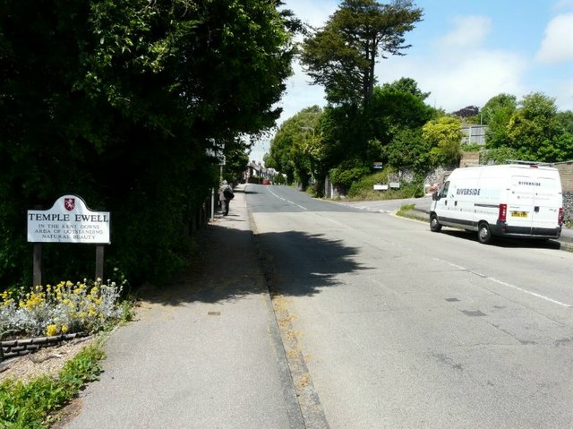
Image: © John Baker Taken: 29 Jun 2012
When I last took a view of the house Image the gutted house was still standing (having been destroyed by fire). It was subsequently demolished and this view shows that a start had been made to erect a new house. Planning permission has been granted by Dover District Council under application number DOV/12/00130 for the "erection of a detached dwelling, 2m high entrance gates to front and rear and construction of a vehicular access". This section of the road seems to be a favoured spot for white vans!
Images are licensed for reuse under creativecommons.org/licenses/by-sa/2.0
Image Location

Latitude
51.149311
Longitude
1.273659