Leicester, LE3 - Parker's Court
Introduction
The photograph on this page of Leicester, LE3 - Parker's Court by David Hallam-Jones as part of the Geograph project.
The Geograph project started in 2005 with the aim of publishing, organising and preserving representative images for every square kilometre of Great Britain, Ireland and the Isle of Man.

There are currently over 7.5m images from over 14,400 individuals and you can help contribute to the project by visiting https://www.geograph.org.uk
Leicester, LE3 - Parker's Court
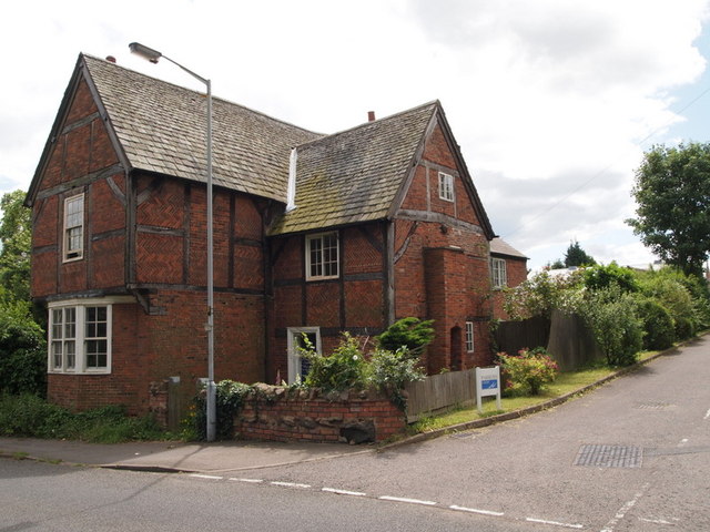
Image: © David Hallam-Jones Taken: 1 Jul 2012
This timber-framed and red-brick former farm-house with its upper floor protruding slightly, is thought to have been built in the 17th century. A depot of some sort lies at the closed end of the short cul-de-sac beside it, off Main Road.
Images are licensed for reuse under creativecommons.org/licenses/by-sa/2.0
Image Location


Leaflet Map data © OpenStreetMap
Latitude
52.619424
Longitude
-1.182236