Sign for Sutton Garden Suburb
Introduction
The photograph on this page of Sign for Sutton Garden Suburb by Marathon as part of the Geograph project.
The Geograph project started in 2005 with the aim of publishing, organising and preserving representative images for every square kilometre of Great Britain, Ireland and the Isle of Man.

There are currently over 7.5m images from over 14,400 individuals and you can help contribute to the project by visiting https://www.geograph.org.uk
Sign for Sutton Garden Suburb
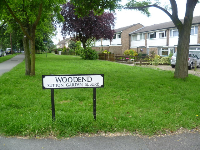
Image: © Marathon Taken: 27 Jun 2012
Sutton Garden Suburb was built between 1900 and 1918 along garden city lines. It was typical of subsequent housing in the district, supplying pleasant houses with gardens for middle-class families whose wage earners commuted into the City. This view of where Woodend meets All Saints Road shows more modern houses in the background, but Woodend and Greenhill, which Woodend leads to, are the chief roads in the garden suburb.
Images are licensed for reuse under creativecommons.org/licenses/by-sa/2.0
Image Location
Latitude
51.37329
Longitude
-0.188862