Southease Place
Introduction
The photograph on this page of Southease Place by Simon Carey as part of the Geograph project.
The Geograph project started in 2005 with the aim of publishing, organising and preserving representative images for every square kilometre of Great Britain, Ireland and the Isle of Man.

There are currently over 7.5m images from over 14,400 individuals and you can help contribute to the project by visiting https://www.geograph.org.uk
Southease Place
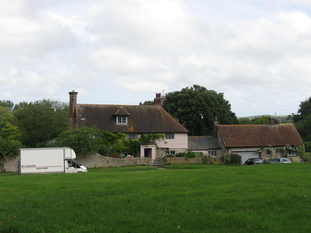
Image: © Simon Carey Taken: 30 Jun 2012
Dating from the 17th century and located on the small triangular village green opposite the church.
Images are licensed for reuse under creativecommons.org/licenses/by-sa/2.0
Image Location
Latitude
50.829019
Longitude
0.020036