South Home Laine
Introduction
The photograph on this page of South Home Laine by Simon Carey as part of the Geograph project.
The Geograph project started in 2005 with the aim of publishing, organising and preserving representative images for every square kilometre of Great Britain, Ireland and the Isle of Man.

There are currently over 7.5m images from over 14,400 individuals and you can help contribute to the project by visiting https://www.geograph.org.uk
South Home Laine
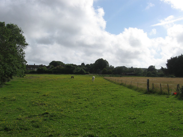
Image: © Simon Carey Taken: 30 Jun 2012
The name of the field according to Rodmell's 1839 tithe map that lies between the village street and the old farm track to South Farm now a footpath. At the far end to the left are Council Cottages which front onto Newhaven Road.
Images are licensed for reuse under creativecommons.org/licenses/by-sa/2.0
Image Location
Latitude
50.83629
Longitude
0.015663