Meers Brook
Introduction
The photograph on this page of Meers Brook by Geoff as part of the Geograph project.
The Geograph project started in 2005 with the aim of publishing, organising and preserving representative images for every square kilometre of Great Britain, Ireland and the Isle of Man.

There are currently over 7.5m images from over 14,400 individuals and you can help contribute to the project by visiting https://www.geograph.org.uk
Meers Brook
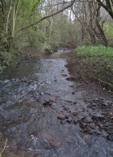
Image: © Geoff Taken: 31 Dec 2006
Anciently, part of the border between Mercia and Northumbria. More recently, helping to divide Derbyshire from Yorkshire. Now, an unregarded stream.
Images are licensed for reuse under creativecommons.org/licenses/by-sa/2.0
Image Location
Latitude
53.355709
Longitude
-1.45984