Downshire estate boundary mark near Lisburn
Introduction
The photograph on this page of Downshire estate boundary mark near Lisburn by Albert Bridge as part of the Geograph project.
The Geograph project started in 2005 with the aim of publishing, organising and preserving representative images for every square kilometre of Great Britain, Ireland and the Isle of Man.

There are currently over 7.5m images from over 14,400 individuals and you can help contribute to the project by visiting https://www.geograph.org.uk
Downshire estate boundary mark near Lisburn
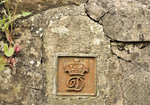
Image: © Albert Bridge Taken: 30 Jun 2012
See Image Part of an estate boundary post, now incorporated in the wall on the western side of this bridge Image, on the Gravelhill Road.
Images are licensed for reuse under creativecommons.org/licenses/by-sa/2.0
Image Location
Latitude
54.495063
Longitude
-6.116306