River Mole Footbridge
Introduction
The photograph on this page of River Mole Footbridge by Colin Smith as part of the Geograph project.
The Geograph project started in 2005 with the aim of publishing, organising and preserving representative images for every square kilometre of Great Britain, Ireland and the Isle of Man.

There are currently over 7.5m images from over 14,400 individuals and you can help contribute to the project by visiting https://www.geograph.org.uk
River Mole Footbridge
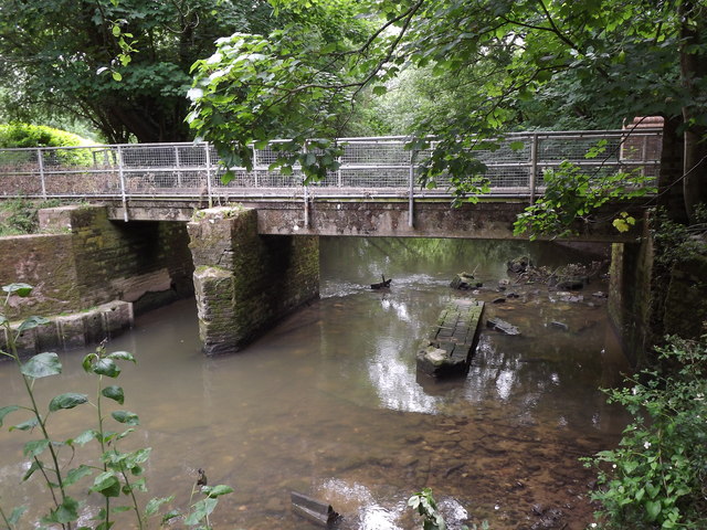
Image: © Colin Smith Taken: 29 Jun 2012
East of brockham village where a new deck bridge is in place. Note the old cutwater foundation in the river.
Images are licensed for reuse under creativecommons.org/licenses/by-sa/2.0
Image Location
Latitude
51.234161
Longitude
-0.283572