The River Lagan, Spencer's Bridge near Moira (1)
Introduction
The photograph on this page of The River Lagan, Spencer's Bridge near Moira (1) by Albert Bridge as part of the Geograph project.
The Geograph project started in 2005 with the aim of publishing, organising and preserving representative images for every square kilometre of Great Britain, Ireland and the Isle of Man.

There are currently over 7.5m images from over 14,400 individuals and you can help contribute to the project by visiting https://www.geograph.org.uk
The River Lagan, Spencer's Bridge near Moira (1)
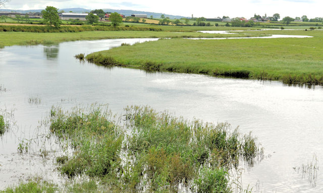
Image: © Albert Bridge Taken: 30 Jun 2012
Although lower than seven days ago Image, the Lagan remains high after more rain during the week. The floods (shown in the link) were on the right in this view downstream. Image shows the view upstream on the same day. For a seasonal comparison in water level see Image during a long dry spell.
Images are licensed for reuse under creativecommons.org/licenses/by-sa/2.0
Image Location
Latitude
54.478092
Longitude
-6.175562