A plethora of route information
Introduction
The photograph on this page of A plethora of route information by Stanley Howe as part of the Geograph project.
The Geograph project started in 2005 with the aim of publishing, organising and preserving representative images for every square kilometre of Great Britain, Ireland and the Isle of Man.

There are currently over 7.5m images from over 14,400 individuals and you can help contribute to the project by visiting https://www.geograph.org.uk
A plethora of route information
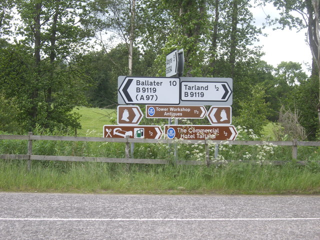
Image: © Stanley Howe Taken: 26 Jun 2012
At Whiteley road junction. Note that whereas QV was obliged to look left on Royal Mail postage stamps of her day, on signs for the Royal Route on Deeside she has been permitted to be shown looking both ways.
Images are licensed for reuse under creativecommons.org/licenses/by-sa/2.0
Image Location
Latitude
57.121198
Longitude
-2.858926