Parry Road, South Norwood: view towards Croydon
Introduction
The photograph on this page of Parry Road, South Norwood: view towards Croydon by Christopher Hilton as part of the Geograph project.
The Geograph project started in 2005 with the aim of publishing, organising and preserving representative images for every square kilometre of Great Britain, Ireland and the Isle of Man.

There are currently over 7.5m images from over 14,400 individuals and you can help contribute to the project by visiting https://www.geograph.org.uk
Parry Road, South Norwood: view towards Croydon
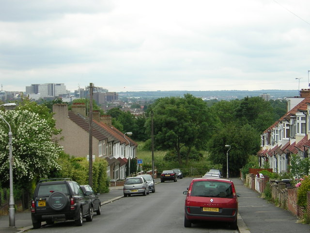
Image: © Christopher Hilton Taken: 26 Jun 2012
In the distance to the left, the commercial buildings of central Croydon. In the middle distance at the end of the road is Whitehorse Meadow Image, the surprisingly large open space that is tucked between houses here.
Images are licensed for reuse under creativecommons.org/licenses/by-sa/2.0
Image Location
Latitude
51.400462
Longitude
-0.087872