The Monarchs Way eastbound
Introduction
The photograph on this page of The Monarchs Way eastbound by Dave Spicer as part of the Geograph project.
The Geograph project started in 2005 with the aim of publishing, organising and preserving representative images for every square kilometre of Great Britain, Ireland and the Isle of Man.

There are currently over 7.5m images from over 14,400 individuals and you can help contribute to the project by visiting https://www.geograph.org.uk
The Monarchs Way eastbound
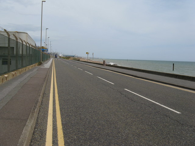
Image: © Dave Spicer Taken: 25 Jun 2012
The long distance path starts or finishes at Shoreham Harbour.
Images are licensed for reuse under creativecommons.org/licenses/by-sa/2.0
Image Location
Latitude
50.828813
Longitude
-0.22734