Markethill.
Introduction
The photograph on this page of Markethill. by Richard Webb as part of the Geograph project.
The Geograph project started in 2005 with the aim of publishing, organising and preserving representative images for every square kilometre of Great Britain, Ireland and the Isle of Man.

There are currently over 7.5m images from over 14,400 individuals and you can help contribute to the project by visiting https://www.geograph.org.uk
Markethill.
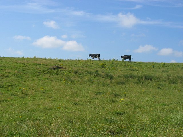
Image: © Richard Webb Taken: 24 Jul 2005
There is a lot of dairy farming in this area. Two friesians against the sky in a field full of toxic ragwort (Senecio jacobae). The live plant is rarely eaten by cattle, but it can contaminate hay with fatal consequences.
Images are licensed for reuse under creativecommons.org/licenses/by-sa/2.0
Image Location


Leaflet Map data © OpenStreetMap
Latitude
55.810349
Longitude
-4.594647