The Lodge Burn, Coleraine (6)
Introduction
The photograph on this page of The Lodge Burn, Coleraine (6) by Albert Bridge as part of the Geograph project.
The Geograph project started in 2005 with the aim of publishing, organising and preserving representative images for every square kilometre of Great Britain, Ireland and the Isle of Man.

There are currently over 7.5m images from over 14,400 individuals and you can help contribute to the project by visiting https://www.geograph.org.uk
The Lodge Burn, Coleraine (6)
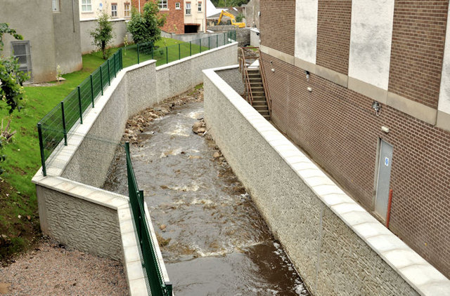
Image: © Albert Bridge Taken: 29 Jun 2012
See Image (January 2012), Image (March 2012) and Image (April 2012). Work on this part of the scheme, between the Railway Road and Brook Street (Long Commons on the Google map), now seems to be complete. Continue to Image (3 August 2012).
Images are licensed for reuse under creativecommons.org/licenses/by-sa/2.0
Image Location
Latitude
55.132491
Longitude
-6.666079