Bolton-by-Bowland: Pendlewood View
Introduction
The photograph on this page of Bolton-by-Bowland: Pendlewood View by Dr Neil Clifton as part of the Geograph project.
The Geograph project started in 2005 with the aim of publishing, organising and preserving representative images for every square kilometre of Great Britain, Ireland and the Isle of Man.

There are currently over 7.5m images from over 14,400 individuals and you can help contribute to the project by visiting https://www.geograph.org.uk
Bolton-by-Bowland: Pendlewood View
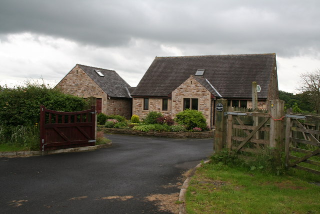
Image: © Dr Neil Clifton Taken: 29 Jun 2012
New house, just west of Raygill Moss. The footpath signposted leads to the River Ribble, where, however, the only means of crossing to the footpath on south side is by a ford which is only useable after a long period of dry weather.
Images are licensed for reuse under creativecommons.org/licenses/by-sa/2.0
Image Location


Leaflet Map data © OpenStreetMap
Latitude
53.944026
Longitude
-2.298718