Lempitlaw graveyard
Introduction
The photograph on this page of Lempitlaw graveyard by Walter Baxter as part of the Geograph project.
The Geograph project started in 2005 with the aim of publishing, organising and preserving representative images for every square kilometre of Great Britain, Ireland and the Isle of Man.

There are currently over 7.5m images from over 14,400 individuals and you can help contribute to the project by visiting https://www.geograph.org.uk
Lempitlaw graveyard
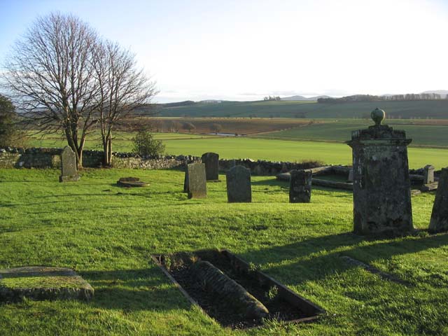
Image: © Walter Baxter Taken: 30 Dec 2006
The original Lempitlaw church was a ruin by the late 18th century and nothing remains of the building above ground. At this time the former parish of Lempitlaw was absorbed into the neighbouring Sprouston parish, although the churchyard at Lempitlaw was still in use. (Source: Information board on site).
Images are licensed for reuse under creativecommons.org/licenses/by-sa/2.0
Image Location


Leaflet Map data © OpenStreetMap
Latitude
55.588012
Longitude
-2.3379