Cleared embankment, Wilford Lane
Introduction
The photograph on this page of Cleared embankment, Wilford Lane by Alan Murray-Rust as part of the Geograph project.
The Geograph project started in 2005 with the aim of publishing, organising and preserving representative images for every square kilometre of Great Britain, Ireland and the Isle of Man.

There are currently over 7.5m images from over 14,400 individuals and you can help contribute to the project by visiting https://www.geograph.org.uk
Cleared embankment, Wilford Lane
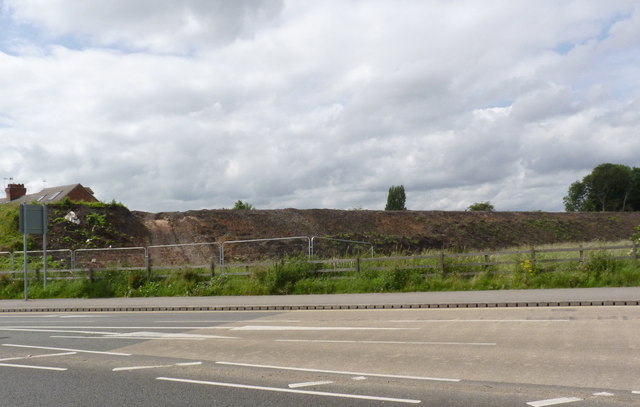
Image: © Alan Murray-Rust Taken: 27 Jun 2012
Since April http://www.geograph.org.uk/photo/2885525 there has been little structural change, but the stumps of the felled trees have all been rooted out and cleared.
Images are licensed for reuse under creativecommons.org/licenses/by-sa/2.0
Image Location
Latitude
52.926241
Longitude
-1.156089