View towards Throwleigh
Introduction
The photograph on this page of View towards Throwleigh by Derek Harper as part of the Geograph project.
The Geograph project started in 2005 with the aim of publishing, organising and preserving representative images for every square kilometre of Great Britain, Ireland and the Isle of Man.

There are currently over 7.5m images from over 14,400 individuals and you can help contribute to the project by visiting https://www.geograph.org.uk
View towards Throwleigh
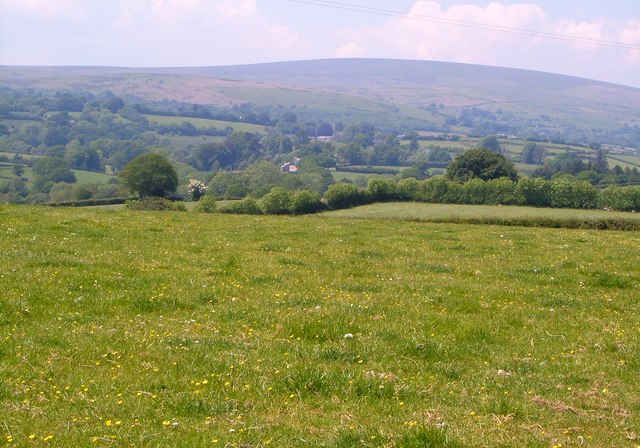
Image: © Derek Harper Taken: 8 Jun 2006
From the lane just west of Torhill Cross. The village of Throwleigh is indistinct in the centre; the church tower is theoretically visible, merging with a dark tree. The valley of the Blackaton Brook is on this side of the village. Behind rises the swell of Cosdon Hill.
Images are licensed for reuse under creativecommons.org/licenses/by-sa/2.0
Image Location


Leaflet Map data © OpenStreetMap
Latitude
50.699165
Longitude
-3.867638