Track to Changue Bridge
Introduction
The photograph on this page of Track to Changue Bridge by Andy Farrington as part of the Geograph project.
The Geograph project started in 2005 with the aim of publishing, organising and preserving representative images for every square kilometre of Great Britain, Ireland and the Isle of Man.

There are currently over 7.5m images from over 14,400 individuals and you can help contribute to the project by visiting https://www.geograph.org.uk
Track to Changue Bridge
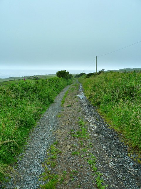
Image: © Andy Farrington Taken: 27 Jun 2012
This last part of the track from Airylick Farm over Changue Fell drops down here to Changue Bridge and the A747 coastal road.
Images are licensed for reuse under creativecommons.org/licenses/by-sa/2.0
Image Location


Leaflet Map data © OpenStreetMap
Latitude
54.798155
Longitude
-4.646371