Pasture by Thorn
Introduction
The photograph on this page of Pasture by Thorn by Derek Harper as part of the Geograph project.
The Geograph project started in 2005 with the aim of publishing, organising and preserving representative images for every square kilometre of Great Britain, Ireland and the Isle of Man.

There are currently over 7.5m images from over 14,400 individuals and you can help contribute to the project by visiting https://www.geograph.org.uk
Pasture by Thorn
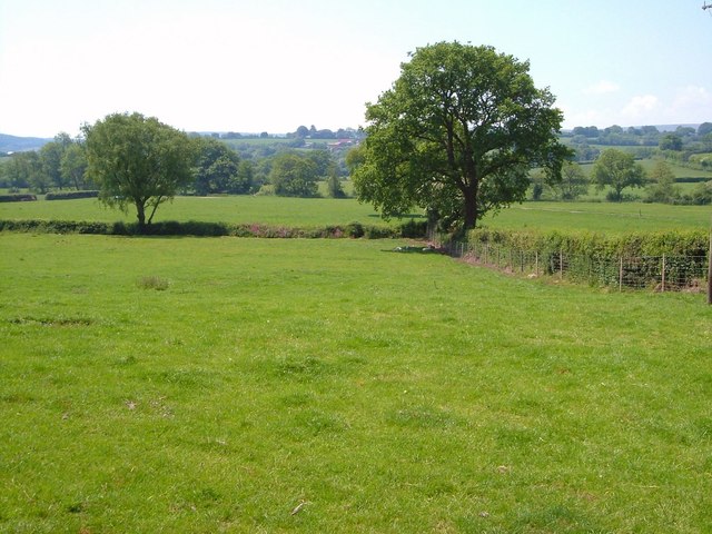
Image: © Derek Harper Taken: 8 Jun 2006
Taken from South Tawton Footpath 33 looking towards the Blackaton Brook, which runs beyond the next field beside the continuous line of trees.
Images are licensed for reuse under creativecommons.org/licenses/by-sa/2.0
Image Location
Latitude
50.696446
Longitude
-3.868946