Greenock Cemetery
Introduction
The photograph on this page of Greenock Cemetery by Lairich Rig as part of the Geograph project.
The Geograph project started in 2005 with the aim of publishing, organising and preserving representative images for every square kilometre of Great Britain, Ireland and the Isle of Man.

There are currently over 7.5m images from over 14,400 individuals and you can help contribute to the project by visiting https://www.geograph.org.uk
Greenock Cemetery
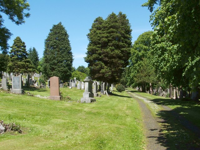
Image: © Lairich Rig Taken: 18 Jun 2012
A difference is apparent between the areas to the left and right of the path; the more densely-wooded area on the right contains the cemetery's older memorials, while the more recent ones are located to the left.
Images are licensed for reuse under creativecommons.org/licenses/by-sa/2.0
Image Location


Leaflet Map data © OpenStreetMap
Latitude
55.947793
Longitude
-4.783404