Crossroads near Brown Lees
Introduction
The photograph on this page of Crossroads near Brown Lees by Mick Malpass as part of the Geograph project.
The Geograph project started in 2005 with the aim of publishing, organising and preserving representative images for every square kilometre of Great Britain, Ireland and the Isle of Man.

There are currently over 7.5m images from over 14,400 individuals and you can help contribute to the project by visiting https://www.geograph.org.uk
Crossroads near Brown Lees
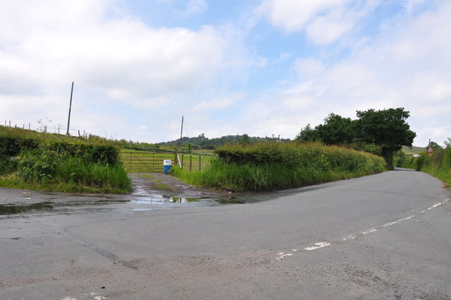
Image: © Mick Malpass Taken: 25 Jun 2012
Mow Cop Castle can be seen in the distance, centre left on the hill.
Images are licensed for reuse under creativecommons.org/licenses/by-sa/2.0
Image Location
Latitude
53.109931
Longitude
-2.199088