Roadside houses
Introduction
The photograph on this page of Roadside houses by John Haynes as part of the Geograph project.
The Geograph project started in 2005 with the aim of publishing, organising and preserving representative images for every square kilometre of Great Britain, Ireland and the Isle of Man.

There are currently over 7.5m images from over 14,400 individuals and you can help contribute to the project by visiting https://www.geograph.org.uk
Roadside houses
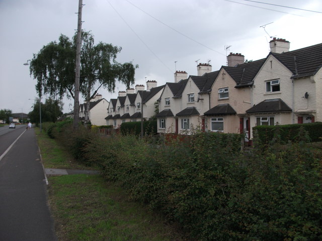
Image: © John Haynes Taken: 18 Jun 2012
What I believe to be the old "pad" houses at RAF Sealand.
Images are licensed for reuse under creativecommons.org/licenses/by-sa/2.0
Image Location
Latitude
53.216886
Longitude
-3.003186