Upland meadows north of Ashover
Introduction
The photograph on this page of Upland meadows north of Ashover by Andrew Hill as part of the Geograph project.
The Geograph project started in 2005 with the aim of publishing, organising and preserving representative images for every square kilometre of Great Britain, Ireland and the Isle of Man.

There are currently over 7.5m images from over 14,400 individuals and you can help contribute to the project by visiting https://www.geograph.org.uk
Upland meadows north of Ashover
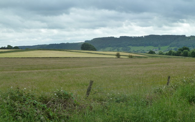
Image: © Andrew Hill Taken: 27 Jun 2012
View from Bath Lane near Bath Lane Farm.
Images are licensed for reuse under creativecommons.org/licenses/by-sa/2.0
Image Location
Latitude
53.178917
Longitude
-1.484506