Conisbrough - bridges over River Don
Introduction
The photograph on this page of Conisbrough - bridges over River Don by Dave Bevis as part of the Geograph project.
The Geograph project started in 2005 with the aim of publishing, organising and preserving representative images for every square kilometre of Great Britain, Ireland and the Isle of Man.

There are currently over 7.5m images from over 14,400 individuals and you can help contribute to the project by visiting https://www.geograph.org.uk
Conisbrough - bridges over River Don
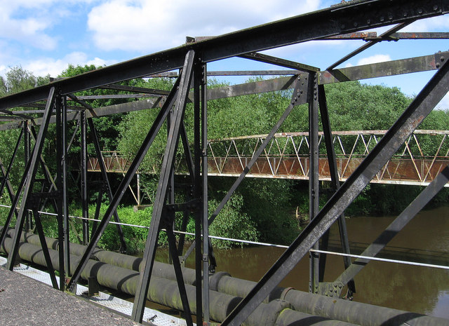
Image: © Dave Bevis Taken: 25 Jun 2012
In the foreground is a pipe bridge, with a footbridge behind. The photo was taken from the access bridge to the ill-fated Earth Centre.
Images are licensed for reuse under creativecommons.org/licenses/by-sa/2.0
Image Location
Latitude
53.490657
Longitude
-1.234458