Bangup Farm [2]
Introduction
The photograph on this page of Bangup Farm [2] by Michael Dibb as part of the Geograph project.
The Geograph project started in 2005 with the aim of publishing, organising and preserving representative images for every square kilometre of Great Britain, Ireland and the Isle of Man.

There are currently over 7.5m images from over 14,400 individuals and you can help contribute to the project by visiting https://www.geograph.org.uk
Bangup Farm [2]
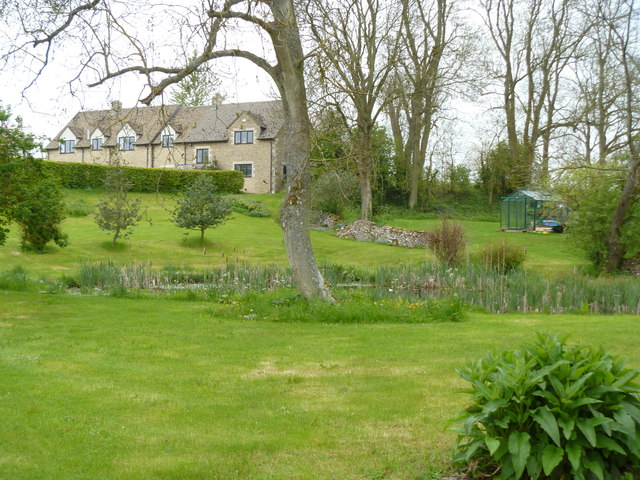
Image: © Michael Dibb Taken: 20 May 2012
The farm is named on the OS 1:25,000 and 1:50,000 maps as Bangup Barn. The farmhouse is seen here from the lane of the same name.
Images are licensed for reuse under creativecommons.org/licenses/by-sa/2.0
Image Location


Leaflet Map data © OpenStreetMap
Latitude
51.871959
Longitude
-1.822461