Path leaves the lane
Introduction
The photograph on this page of Path leaves the lane by Michael Dibb as part of the Geograph project.
The Geograph project started in 2005 with the aim of publishing, organising and preserving representative images for every square kilometre of Great Britain, Ireland and the Isle of Man.

There are currently over 7.5m images from over 14,400 individuals and you can help contribute to the project by visiting https://www.geograph.org.uk
Path leaves the lane
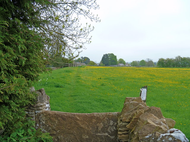
Image: © Michael Dibb Taken: 20 May 2012
The Macmillan Way long distance path has followed the restricted byway from Turkdean. Here it leaves the lane and enters the fields before turning left into the centre of Cold Aston.
Images are licensed for reuse under creativecommons.org/licenses/by-sa/2.0
Image Location


Leaflet Map data © OpenStreetMap
Latitude
51.873571
Longitude
-1.817952