Road through Colyford
Introduction
The photograph on this page of Road through Colyford by Derek Harper as part of the Geograph project.
The Geograph project started in 2005 with the aim of publishing, organising and preserving representative images for every square kilometre of Great Britain, Ireland and the Isle of Man.

There are currently over 7.5m images from over 14,400 individuals and you can help contribute to the project by visiting https://www.geograph.org.uk
Road through Colyford
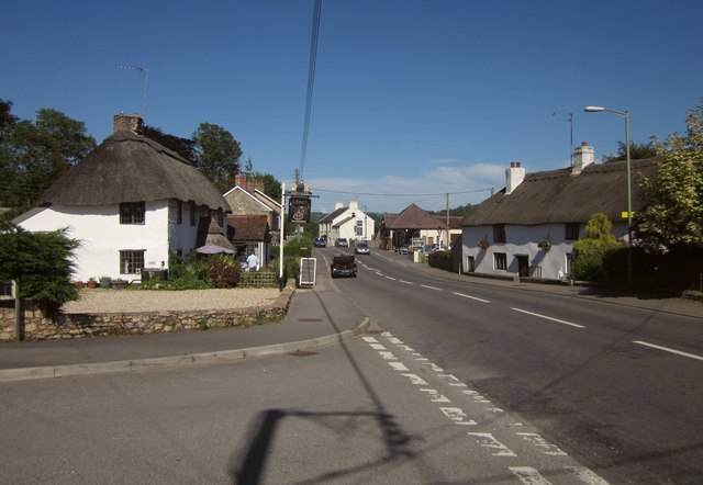
Image: © Derek Harper Taken: 19 Jun 2012
The A3052, a busy main road through the village, which has numerous attractive houses. This is the junction with Old Manor Gardens.
Images are licensed for reuse under creativecommons.org/licenses/by-sa/2.0
Image Location
Latitude
50.727459
Longitude
-3.061846