Public Bridleway near Tockholes
Introduction
The photograph on this page of Public Bridleway near Tockholes by philandju as part of the Geograph project.
The Geograph project started in 2005 with the aim of publishing, organising and preserving representative images for every square kilometre of Great Britain, Ireland and the Isle of Man.

There are currently over 7.5m images from over 14,400 individuals and you can help contribute to the project by visiting https://www.geograph.org.uk
Public Bridleway near Tockholes
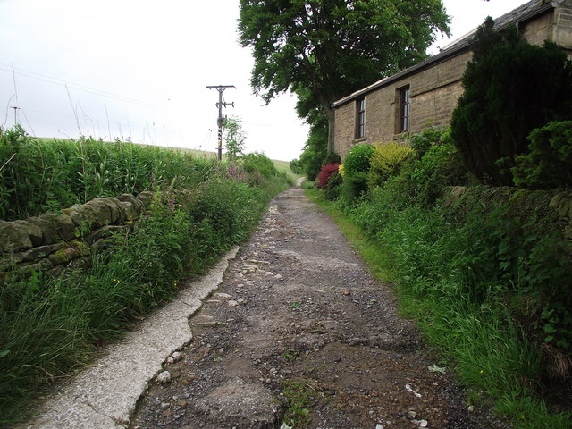
Image: © philandju Taken: 26 Jun 2012
Part of the Witton Weavers Way, the path leads to Sunnyhurst Woods in Darwen.
Images are licensed for reuse under creativecommons.org/licenses/by-sa/2.0
Image Location
Latitude
53.695689
Longitude
-2.511106