Near the end of the A479 descent into Talgarth
Introduction
The photograph on this page of Near the end of the A479 descent into Talgarth by Jaggery as part of the Geograph project.
The Geograph project started in 2005 with the aim of publishing, organising and preserving representative images for every square kilometre of Great Britain, Ireland and the Isle of Man.

There are currently over 7.5m images from over 14,400 individuals and you can help contribute to the project by visiting https://www.geograph.org.uk
Near the end of the A479 descent into Talgarth
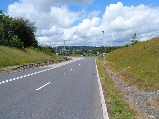
Image: © Jaggery Taken: 24 Jun 2012
The A479 descends towards the roundabout at the western edge of Talgarth. Beyond the roundabout, the A479 continues towards Bronllys.
Images are licensed for reuse under creativecommons.org/licenses/by-sa/2.0
Image Location
Latitude
51.994348
Longitude
-3.236483