Abandoned road
Introduction
The photograph on this page of Abandoned road by Robin Webster as part of the Geograph project.
The Geograph project started in 2005 with the aim of publishing, organising and preserving representative images for every square kilometre of Great Britain, Ireland and the Isle of Man.

There are currently over 7.5m images from over 14,400 individuals and you can help contribute to the project by visiting https://www.geograph.org.uk
Abandoned road
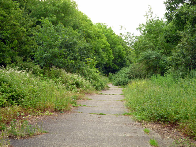
Image: © Robin Webster Taken: 25 Jun 2012
North Dane Way seems to have been planned to continue a good way further south than is now the case, and a fair distance was completed. It is a wide road, here much encroached on by vegetation.
Images are licensed for reuse under creativecommons.org/licenses/by-sa/2.0
Image Location
Latitude
51.337553
Longitude
0.551723