Church of All Saints, Wilbarston
Introduction
The photograph on this page of Church of All Saints, Wilbarston by Tim Heaton as part of the Geograph project.
The Geograph project started in 2005 with the aim of publishing, organising and preserving representative images for every square kilometre of Great Britain, Ireland and the Isle of Man.

There are currently over 7.5m images from over 14,400 individuals and you can help contribute to the project by visiting https://www.geograph.org.uk
Church of All Saints, Wilbarston
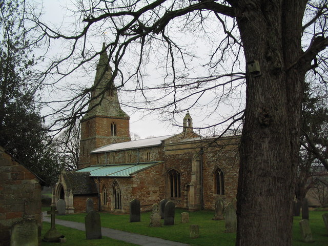
Image: © Tim Heaton Taken: 29 Dec 2006
Set in an attractive, well-maintained churchyard on the northern edge of the village. The Jurassic Way is signposted along this path through the churchyard and the neighbouring field, although the map shows the Way following the road behind the church.
Images are licensed for reuse under creativecommons.org/licenses/by-sa/2.0
Image Location


Leaflet Map data © OpenStreetMap
Latitude
52.486586
Longitude
-0.805631